Migratory Waterfowl Stewardship Project
[sm_column_text]
Mapping
Along with the CLT’s Community Mapping Project, we are currently working to map important wetland and waterfowl areas in the Valley. Maps of some areas are below. Click on them to download PDF versions.
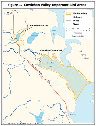
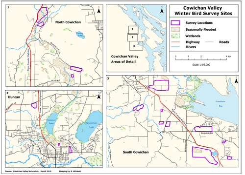
There are also several relevant atlases available online. Some good ones to check out are the BC Wetlands, Bird Studies Canada, the Comox Valley Watershed Atlas and the Sensitive Habitat Inventory and Mapping (SHIM).[/sm_column_text]
[sm_separator style=”sm-style-diamond” align=”sm-center”]
[sm_column_text css=”.vc_custom_1477513952227{padding-top: 0px !important;}”]
Project Sponsors
[/sm_column_text][sm_column_text]
Environmental Damages Fund
Thanks to all those who lent their photos to this site.
[/sm_column_text][sm_column_text css=”.vc_custom_1477514184625{padding-top: 0px !important;}”]
Resources
[/sm_column_text][sm_column_text]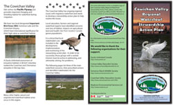
Click Here to download a brochure about the Cowichan Valley Regional Waterfowl Stewardship Action Plan